
The Vagabond Adventure Daily Journal
Where Are We Now?
Good to see you! Hope you’re enjoying the journey!
This journal provides you snapshots of our journey as we work our way around the world, never traveling by jet. It’s a chance to get a close-up view of the planet as we explore it the way people did 120 years ago.
Day 411 - Colca Canyon, Peru
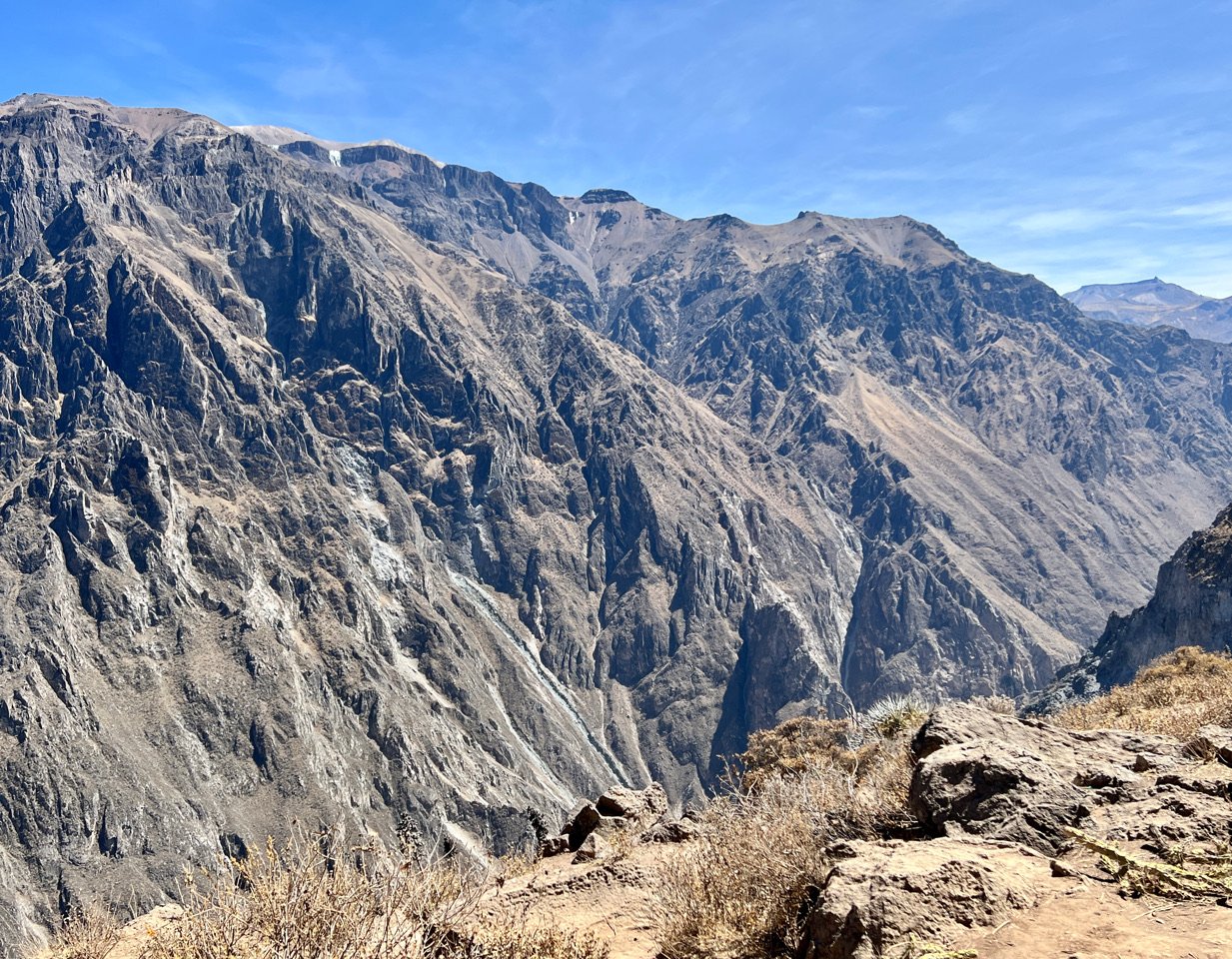
It took a few hours, but eventually our bus wound us deep into the famous Colca Canyon of Peru, well-known for its condors. We didn’t see any (like we did in Choquequirao). But we saw lots of tourists, and ridges of rock unlike anything I had seen since were were in Utah’s Canyonlands (see Dispatch XXII). These steep canyons with their great uplifted shards of rock were magnificent.
Day 410 - Chivay, Peru
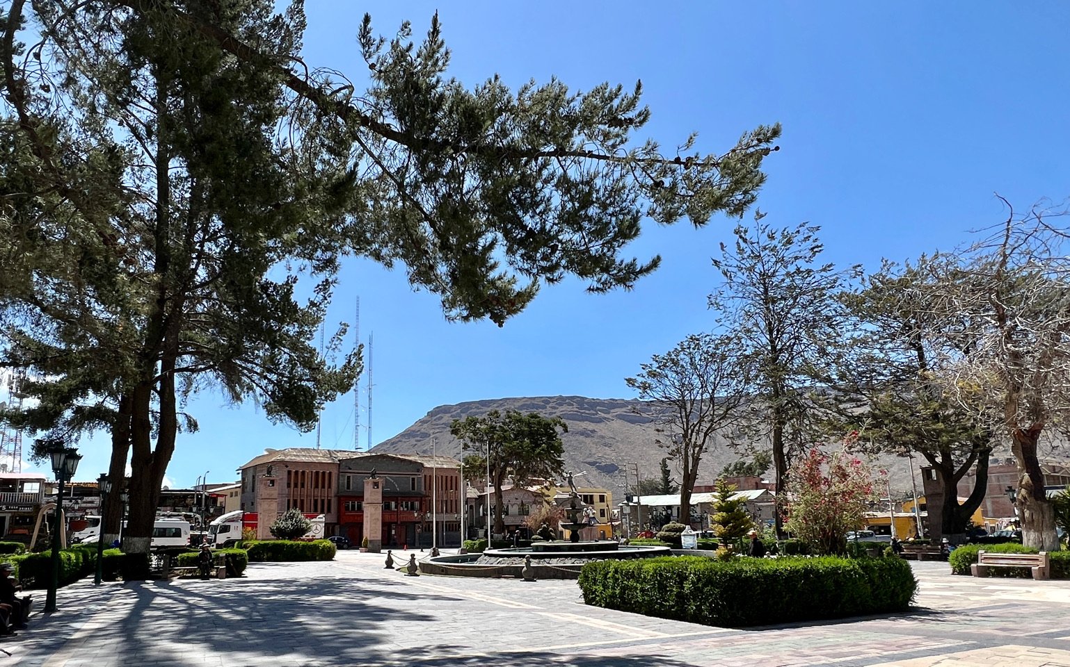
On our way from Puno to Colca Canyon, one of the largest canyons in the world, we stayed in the charming little town of Chivay.
Local trees gnarled, bending in all directions arose around and above as a hard boned man in his 70s insisted on carrying out bags to our cabin. I got the name of the tree from Joao at the reception desk, and then lost it. It’s probably among the many shreds of paper and notes I have. It will turn up.
Day 408 - 409 - Lake Titicaca, Peru
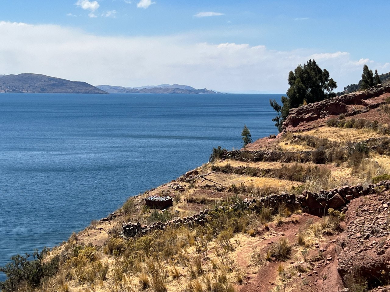
The Uros people of this Lake call it Titihaha-meaning strong puma because they felt the lake was in the shape of a puma. They are a pre-Incan culture that came here 1000 years ago. 300 years later, a contingent broke away and created these entirely man made islands constructed from the ubiquitous reeds that rise from the low water nearby. There are about 80 small islands, each with a kind chief who advises the peoples’ mayor. The system is run like a democratic co-op. It’s an ancient but remarkably clever system that as served longer than many Empires have.
Day 404 - From Machu Picchu to Cusco
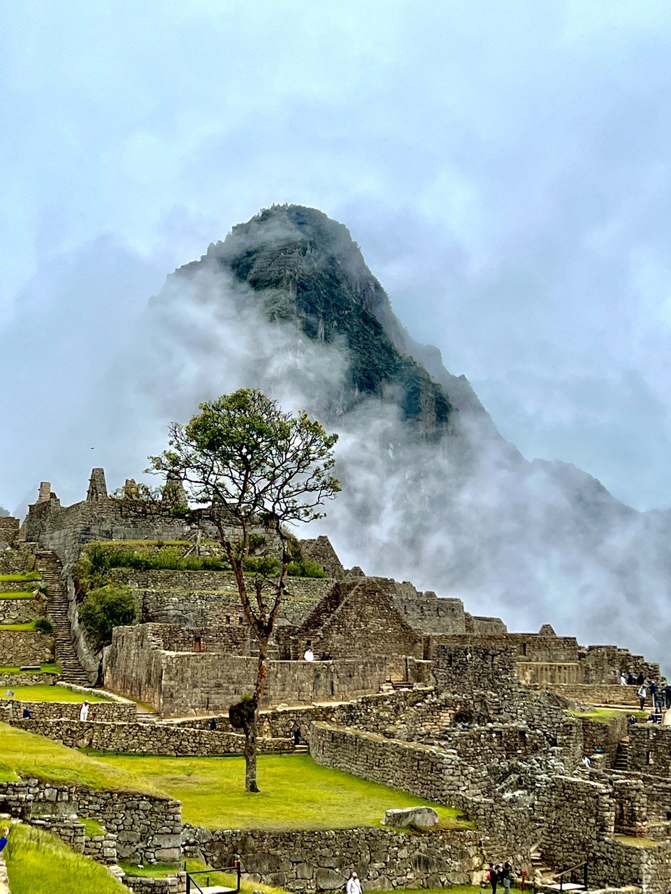
Our 6th day on our Choquequirao/Machu Picchu journey we awoke to take a bus to the famous palace. (See video.) Unlike Choquequirao, long lines awaited us — one bus after another. Millions visit here annually. Above us lay the mountain of Machu Picchu, enshrouded in mist. Once on the grounds we could see nothing and I worried we’d be unable to share this stunning place. But slowly the clouds disappeared and like a show the citadel revealed itself. The location is so dramatic because the palace sits immediately beside three high mountains and a deep ravine created by the Urubamba river far below.
Day 401 - 403 - The Hike from Choquequirao to Machu Picchu
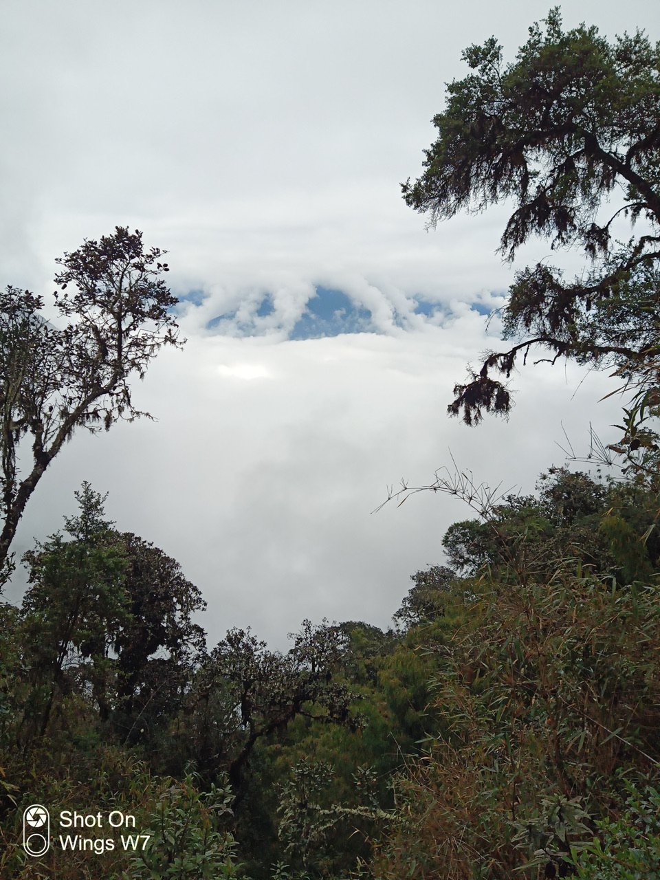
Day 4 of the Choquequirao/Machu Picchu Hike. We came down the highest mountain on foot after a steep morning ascent and eventually reached the tiny town of Santa Teresa above the Totoro River. My video reveals a bit of the location. That’s our tent and the toilet. Lovely! The next morning we planned to get a ride to the trailhead to Machu Picchu, but the driver didn’t show. So we spent some time in the village. Cyn caught me and Renato having coffee in the little kitchen where a young woman brewed the coffee. More to come.
Day 400 - Arriving at Choquequirao
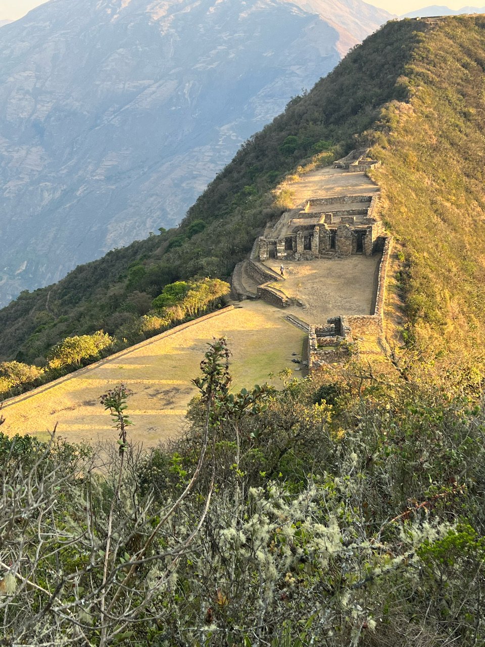
Day 2 on the trek to Choquequirao: big day because we will actually reach the sacred city. We hope. That’s the mountain we will climb, the big one with the on top. (I’m still working on the proper names of all the mountains. There no shortage of them.) Choquequirao is near the top in the crevice to the left, just below the clouds. We had some breakfast with Mariano our cook and Renato, the owner of CuscoNative.com-highly recommended, mention my name), and then started down those rocks and finally made the Rio Apurimac. I wondered if we’d ever get there. Once there we took a breath to enjoy the surroundings and the roar of the river. Not many human beings to be found here. Then we began the roughly 6500 foot vertical ascent to the citadel.
Day 399 - Beginning the Trek to Choquequirao
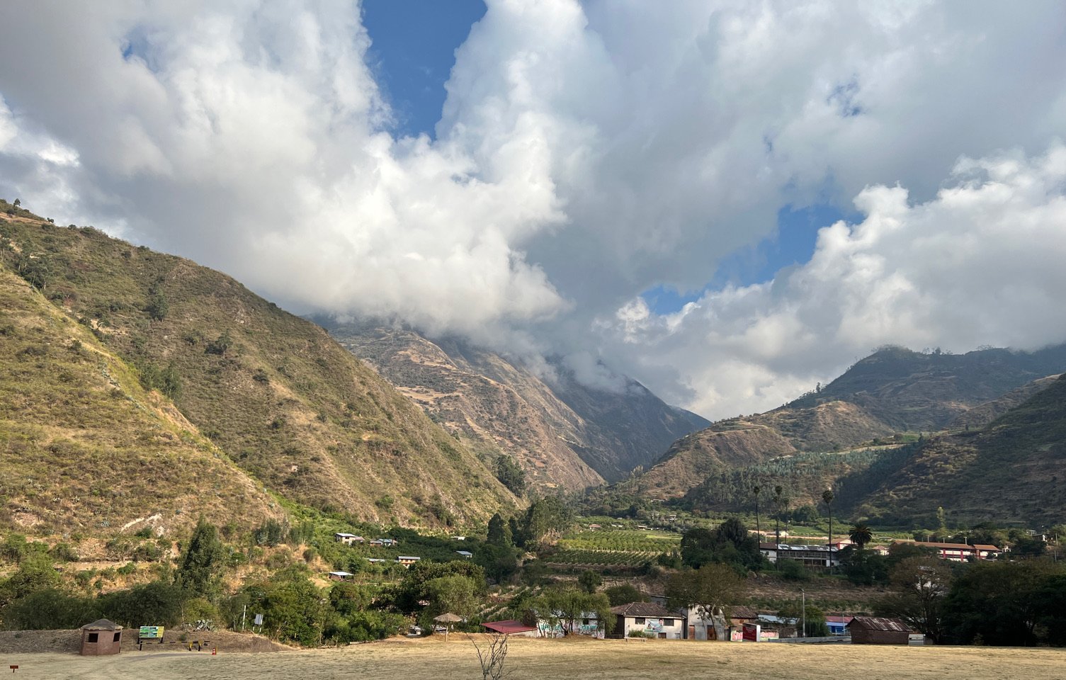
We drove away from Cusco along the Apurimac River through its flatlands toward our trailhead, but first stopped at Tarawasi where an ancient Incan Marketplace still stood among a small farm. Tarawasi was on a direct line from the high mountains of Choquequirao to this central village onto what is now Nasca near where saw the Nasca Lines. A theory is that the village acted as a way station where repairs were made, goods were replenished and where couriers would run fresh fish from the sea up to the mountains through miles of brutal terrain. The photos reveal the intricate and refined stone work the Incas were capable of. Even now, 700 years after these buildings were built, you couldn’t fit a piece of paper between these stones. It was as if they were laser cut.
